When is the best time to hike the Rwenzori Mountains?
June to August and late December to February are usually the drier trekking windows. The range is wet year-round, however, so rain, mud, mist and cold should be expected in every season.
 Gamba Uganda Safaris
Gamba Uganda Safaris
Operated by GUS Signature Expeditions Limited
Change language
Operated by GUS Signature Expeditions Limited
Rwenzori Mountains National Park
Climb the Mountains of the Moon with time, care and private guidance. Choose a shorter scenic trek, a serious high-mountain route or a Rwenzori and wildlife journey shaped around your fitness and time.
The Rwenzori does not announce itself with one perfect postcard view. It reveals itself slowly: wet forest, heavy boots, giant plants, cold air, quiet camps and the strange pride of earning each higher valley.
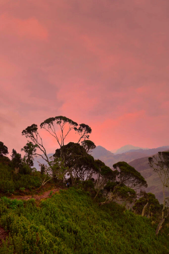
You leave the heat and road dust behind, then the path changes under your feet. Forest closes in. Water appears everywhere. The air cools. You start noticing smaller things: moss on trunks, the weight of your pack, the way guides listen to the weather before they speak. That is the Rwenzori feeling. It is not polished to be easy. It is beautiful because it is honest.
How it feels
The best Rwenzori plan is not the one with the most dramatic wording. It is the one that gives your body enough time, your guide enough flexibility and the mountain enough room to behave like a mountain. Some travelers want a serious trek toward the high camps. Others only need a shorter taste of the foothills before returning to wildlife and lodges. Both can be right.
Mountain truth
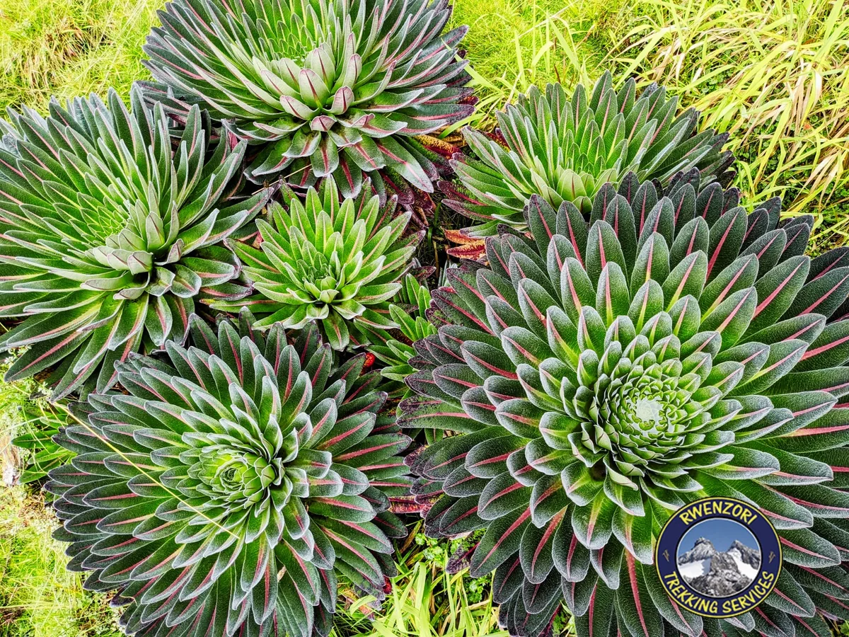
The Rwenzori Mountains are Uganda's signature alpine trekking country, home to Margherita Peak on Mount Stanley at 5,109 meters. The range feels different from East Africa's more familiar open mountains: wetter, quieter, stranger and full of afro-alpine vegetation that makes the trail feel almost prehistoric.
This is why planning matters. The mountain asks for real preparation: mud, steep ascents, shifting weather, altitude, porter support and enough days for the route to feel earned rather than forced. Shorter treks are possible, but summit-focused journeys should be treated as the main event of the trip.
Practical Rwenzori trekking guide
Rwenzori Mountains National Park is a UNESCO World Heritage Site in western Uganda. Hiking can range from a forest walk or lower-elevation trek to a technical ascent of 5,109 m Margherita Peak, so the route should be chosen around time, fitness, experience and current mountain conditions.
June to August and late December to February are usually the drier trekking windows. The range is wet year-round, however, so rain, mud, mist and cold should be expected in every season.
Forest walks and lower-elevation routes can take one to three days. Scenic highland treks often take four to six days, while Margherita Peak programs generally need about seven to twelve trekking days, depending on the circuit, acclimatization plan and conditions.
The Kilembe Trail starts from the southern side near Kasese; the Central Circuit uses the Nyakalengija trailhead. Both move through changing vegetation zones and mountain camps, but camp sequence, scenery, elevation gain and summit schedule differ.
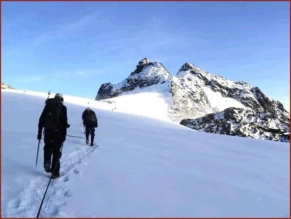
Lower Rwenzori hikes can be non-technical, but the upper Mount Stanley summit is a serious mountaineering objective. It requires strong fitness, altitude tolerance, specialist equipment and guide-led decisions around glaciers, ropes, weather and turnaround times.
Plan for water as carefully as for cold: waterproof boots, rain jacket and trousers, warm layers, gloves, a headlamp, sleeping bag, dry bags and personal medication. Operators can advise which technical summit equipment is supplied or hired.
Rain, snow, trail conditions, river crossings, visibility and glacier safety can change the daily plan. A summit is never guaranteed; guide and park safety decisions take priority, so keep flexibility and a recovery night in the wider Uganda itinerary.
Compare Rwenzori routes
Kilembe routes begin near Kasese and include shorter highland treks as well as seven- to eight-day Margherita Peak programs. The Central Circuit begins at Nyakalengija and follows a different classic camp sequence. Both summit approaches enter serious high-altitude terrain; the best choice depends on acclimatization, conditions and the pace your guide recommends.
| Route shape | Typical trekking time | Highest objective | Terrain and technicality | Best suited to |
|---|---|---|---|---|
| Lower mountain and forest | 1–3 days | Lower slopes and scenic viewpoints | Forest, mud and steady climbing without a glacier summit. | Travelers adding a mountain taste to a wider western Uganda safari. |
| Kilembe to Weismann's Peak | About 5 days | Weismann's Peak, about 4,620 m | Bog, high valleys and steep rock; ropes may be used for safety in difficult conditions. | Strong hikers who want a high Rwenzori objective without the Margherita glacier summit. |
| Kilembe to Margherita Peak | Usually 7–8 trekking days | Margherita Peak, 5,109 m | Long high-altitude days plus glacier, rope, crampon and ice-axe sections on summit day. | Very fit hikers prepared for a technical, weather-dependent summit attempt. |
| Central Circuit to Margherita Peak | Usually 7+ trekking days | Margherita Peak, 5,109 m | A classic circuit from Nyakalengija with its own hut sequence, steep mountain travel and the same technical summit demands. | Experienced hikers who prefer the Central Circuit layout after a route-specific briefing. |
Costs and logistics
Mountain prices depend on more than the number of days. We confirm the route, support team, equipment, road plan and recovery nights first, then provide a written proposal that makes inclusions and exclusions easy to compare.
Most private journeys travel from Entebbe or Kampala to Kasese, then continue to Kilembe or Nyakalengija. Arrive near the trailhead before trekking begins so there is time for a guide briefing, equipment check and an unhurried start.
Before payment, your plan should name the trailhead, trekking days, park procedures, mountain team and summit objective. We coordinate those arrangements with the relevant park and trekking partners rather than leaving them vague.
Party size, trek length, summit objective, private transfers, pre- and post-trek hotels, equipment hire and any safari extension all affect the final cost. See our Uganda safari cost guide for the wider budgeting context.
Look for a clear list of park and route charges, guide and porter support, camp accommodation, mountain meals, technical equipment, road transfers, hotels, taxes and exclusions. Personal gear, tips and emergency cover should never be left ambiguous.
Confirm which boots, waterproof layers, sleeping bag and summit equipment you must bring or hire. For Margherita Peak, ask your insurer in writing whether the policy covers the planned altitude, technical trekking, glacier travel, evacuation and repatriation; start with our travel insurance guide.
Keep at least one flexible night after a demanding trek. A slower stay near Fort Portal, Kibale or Queen Elizabeth gives the journey room to absorb weather changes and physical recovery.
Route ideas
The cards below are starting points, not boxes. We can make the route gentler, more serious, more scenic or more comfortable around your time, fitness and travel style.
 5 days
A shorter Kilembe route through Sine, Mutinda, Bugata, Weismann's Peak and the beautiful Nyamwamba Valley descent.
 11 days
The full 8-day Kilembe route to Margherita Peak, softened with Kibale chimpanzee tracking after the mountain.
 Custom
Best if you want foothill hiking, mountain atmosphere or a gentler Rwenzori stop added to a western Uganda safari.
Planning honestly
On a mountain like this, comfort is not only a bed at the end. It is the right start time, a guide who knows when to slow down, porters treated properly, recovery nights placed where they help and a route that respects the weather instead of pretending it can be controlled.
Related planning
Choose a short summit taste, a serious high-camp route or a mountain-and-primate itinerary that returns gently into western Uganda.
We can shape a scenic Rwenzori taste, a hiking-and-primates route or a serious multi-day trek with recovery built in.