A shorter Rwenzori route for hikers who want forest, waterfalls, Mutinda views, Bugata lakes, a high peak day and the dramatic Nyamwamba Valley descent.
This is compact, scenic and still very much a mountain trek.
The route starts at Trekkers Hostel in Kyanjuki, Kilembe, around 1,450 metres above sea level and about 12 kilometres from Kasese town. You walk to the UWA ranger post for park formalities and briefing, then begin climbing into the Rwenzori forest.
Guides normally brief clients the night before the trek. The pace is shorter than summit routes to Margherita, but the trail still includes mud, altitude gain, bogs, steep rock near Weismann's Peak and long descents.
Best for Active hikers who want a serious Rwenzori taste without committing to the full technical glacier summit.
Highest point Weismann's Peak at about 4,620 metres. Stella Peak is nearby but is technical and not advised for standard hikers.
Route feel Forest, bamboo, heather, mossy rivers, giant lobelia, lakes, rock, high views and a beautiful valley descent.
Day by day
A short route with real Rwenzori character.
Day 1 | Sine Hut
Day 1 | Trekkers Hostel to Sine Hut
Climb from Kilembe into Afro Montane forest.
Start at about 1,450 metres and sleep at Sine Hut around 2,596 metres. The trail follows the valley floor through tall forest trees, birds, moss, vines, flowers, fungi and possible sightings of blue monkeys, colobus monkeys, L'Hoest monkeys or distant chimpanzee calls.
Height gain is roughly 1,146 metres.
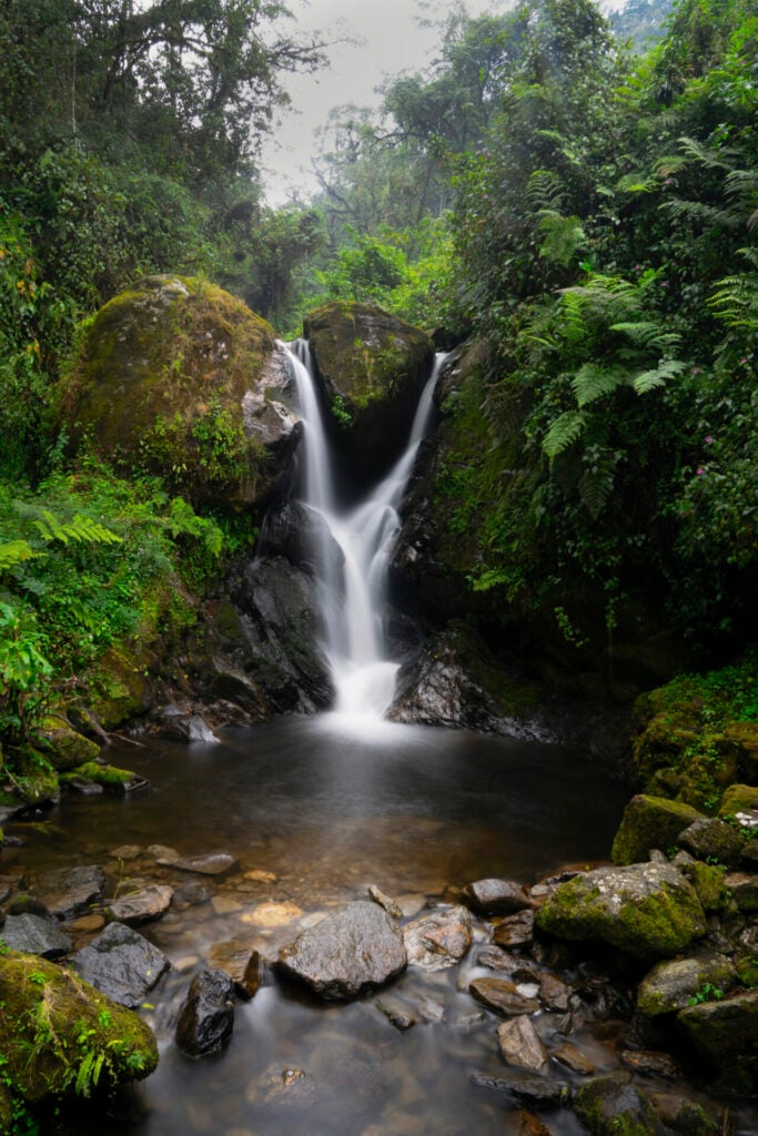
Enock's Falls sits close to Sine Hut and is one of the day-one highlights.
Fit hikers may continue higher toward Kalalama, depending on the guide's advice.
Day 2 | Mutinda Camp
Day 2 | Sine to Mutinda Camp
Bamboo, heather, waterfalls and the Mutinda Lookout option.
After breakfast, the trail enters the Bamboo-Mimulopsis Zone, where steep steps and wet-season mud slow the pace. You pass Kalalama Camp, then continue beside mossy rivers, giant heather, small streams and waterfalls toward Mutinda Camp.
The forest atmosphere is often misty, green and quiet.
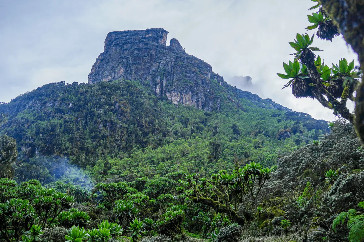
Mutinda Lookout can be added in the afternoon for views over the Rwenzori, Kasese and Lake George.
The lookout also helps acclimatization for hikers continuing higher.
Day 3 | Bugata Camp
Day 3 | Mutinda to Bugata Camp
Bogs, giant lobelias, Namusangi Valley and lake views.
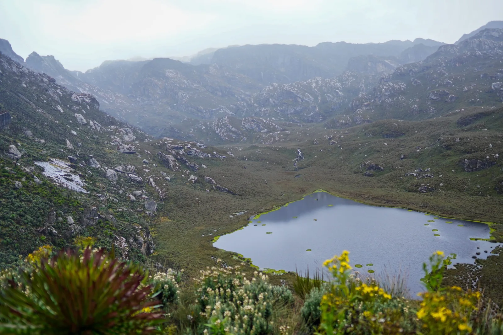
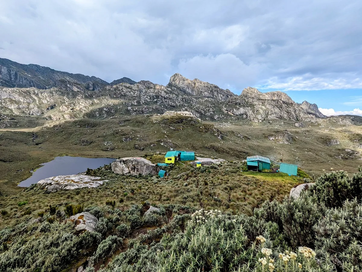
The route crosses wet bog sections and tussock grass before climbing through the Namusangi Valley. Waterfalls, Mutinda Peak views, giant lobelias, everlasting flowers and high-lake scenery lead toward Bugata Camp around 4,062 metres.
Approximate distance from 3,688 metres to 4,062 metres is 4.9 km.
Boardwalks help across some of the wettest bog sections.
Bugata has solar lights, toilets and basic wash facilities.
Day 4 | Weismann's Peak
Day 4 | Weismann's Peak to Kiharo Camp
Summit Weismann's Peak, then descend into Kiharo.
The day crosses the hillside above Bugata Lake and Lake Kopello before climbing toward Weismann's Peak at about 4,620 metres. The final rock section is steep and can be difficult in snow or ice, so ropes may be used for safety.
Approximate return distance for the peak section is 9 km.
Clear days can reveal Mt Stanley, Mt Speke and Mt Baker.
Descend through giant groundsel and glacial valleys to Kiharo Camp around 3,460 metres.
Day 5 | Nyamwamba Valley
Day 5 | Kiharo to Kilembe
Follow the Nyamwamba Valley out of the mountains.
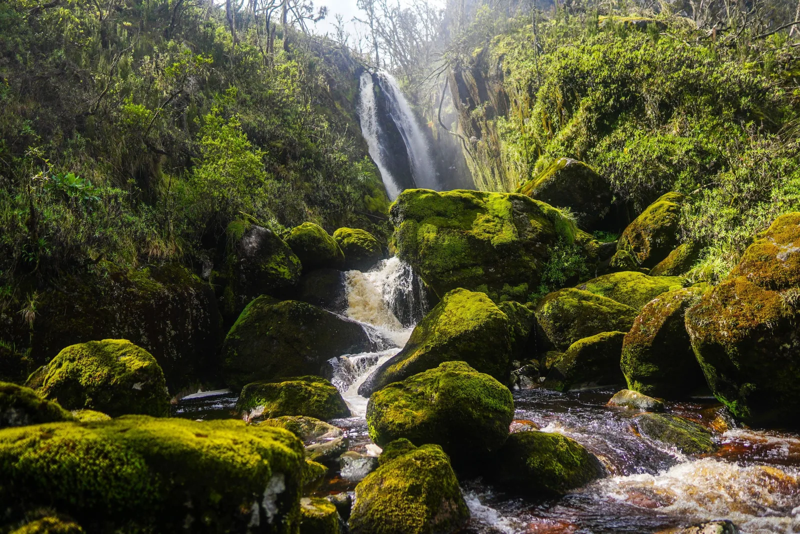
The final day is mostly downhill and beautifully wild. The route follows moss-covered rocks, waterfalls, deep valleys, forest, river sections and the Riverside Rock Shelter lunch stop before continuing toward the lower trail.
This is one of the most scenic descent valleys in the Rwenzori.
Watch for birds, primates, hyrax and quiet duiker sightings.
A strong, green ending to a compact mountain route.
Plan it properly
Tell us how hard you want the mountain to feel.
We can help you choose between this five-day Weismann's Peak route, a gentler Rwenzori taste or a longer summit itinerary depending on fitness, comfort, weather and travel time.