Rwenzori Mountains National Park

Seven days to Margherita Peak.

A direct, demanding Rwenzori route from Kilembe to the high glaciers of Mt Stanley, made for fit hikers who want the summit without padding the mountain into a longer safari.

Before you commit

This is the fast version, not the easy version.

The trek starts at Trekkers Hostel in Kyanjuki, Kilembe, around 1,450 metres above sea level. Seven days is possible, but it climbs quickly and asks more from the body than a slower eight-day approach.

Margherita Peak is now technical. Ice, rock, ropes, crampons, ascenders, figure 8s, and basic rope confidence may be part of the summit day. Guides can support you, but you should arrive fit, prepared, and honest about your mountain experience.

Day by day

The route earns height quickly.

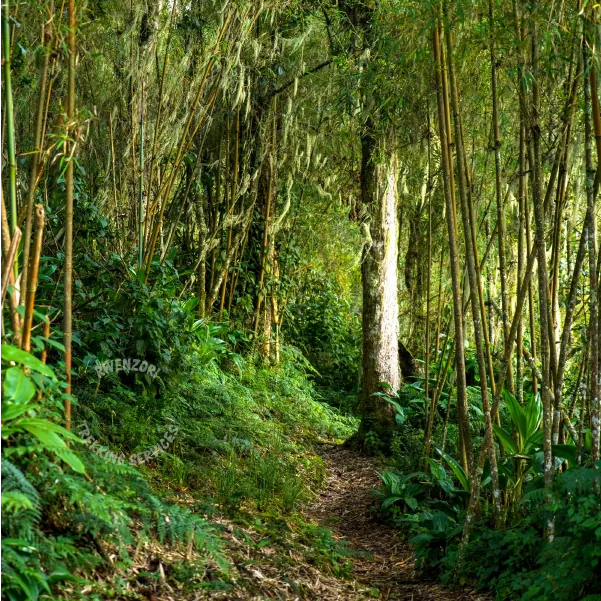
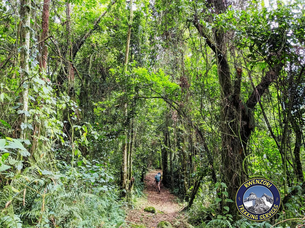
Afro montane forest on the lower Rwenzori trail
Day 1 | Forest ascent
Day 1 | Kilembe to Kalalama Camp

Begin in forest, then climb into heather country.

After the ranger briefing, the trail rises through the Afro Montane Forest Zone. Birds, blue monkeys, colobus monkeys, bamboo, mud, and steep forest steps set the tone before Kalalama Camp at about 3,147 metres.

  • Start from Trekkers Hostel in Kyanjuki, Kilembe.
  • Steady climb through forest and bamboo zones.
  • First night in the Heather-Rapanea zone.
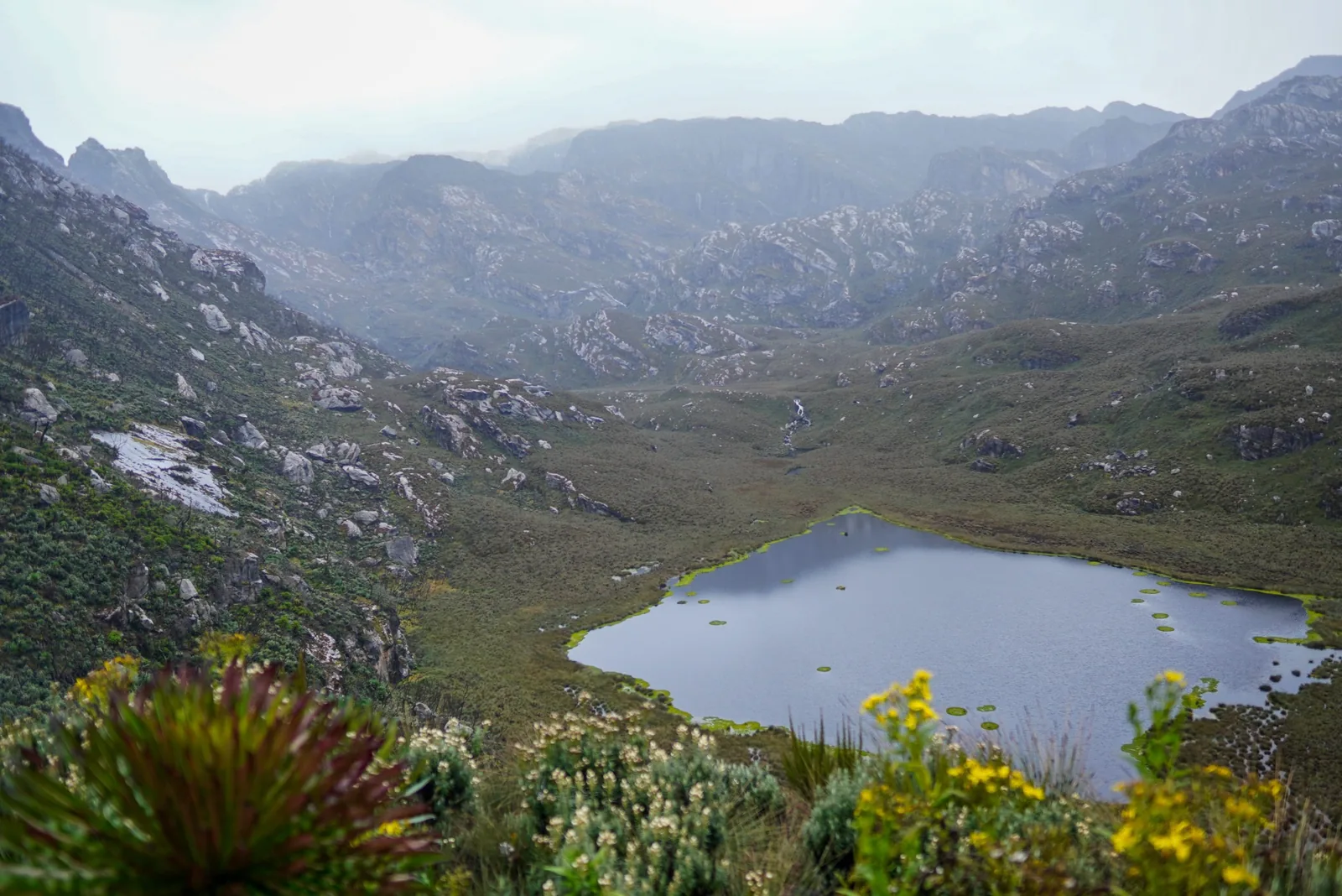
Lake Bugata and high Rwenzori vegetation near Bugata Camp
Day 2 | Bugata Camp
Day 2 | Kalalama to Bugata Camp

Waterfalls, bogs, giant heather, and the first high-camp feeling.

This is a long, serious day. You bypass Mutinda Camp and continue through mossy valleys, streams, boardwalked bogs, giant lobelias, and the Namusangi Valley before reaching Bugata Camp around 4,062 metres.

  • Expect mud and careful foot placement in wet sections.
  • Views open toward Mutinda Peaks and Bugata Lake.
  • Solar lights and camp facilities make Bugata a welcome stop.
High Rwenzori mountain view from the trail toward Hunwick's Camp
Day 3 | Bamwanjarra Pass
Day 3 | Bugata to Hunwick's Camp

Cross Bamwanjarra Pass and move deeper into the mountains.

The route climbs to Bamwanjarra Pass at about 4,450 metres, where clear weather can reveal the main peaks. The trail then drops and rises through evergreen vegetation, bog edges, giant groundsel, and lobelia toward Hunwick's Camp.

  • Excellent birding country, including sunbirds around lobelia flowers.
  • Views toward Mt Stanley, Mt Baker, Weismann's Peak, and McConnell's Prong.
  • A strong day for feeling the scale of the central Rwenzori.
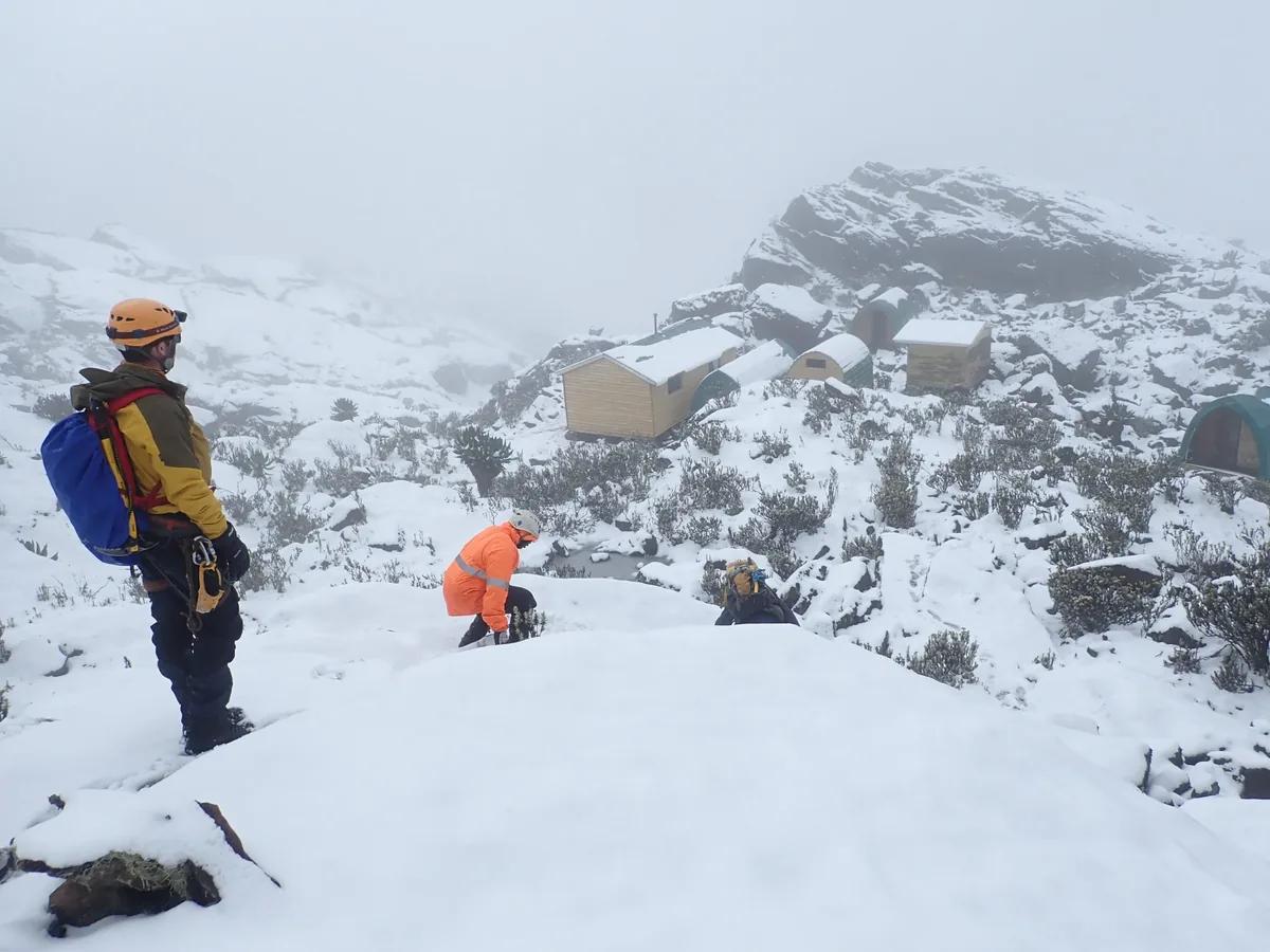
Margherita Camp in the high Rwenzori Mountains
Day 4 | Margherita Camp
Day 4 | Hunwick's to Margherita Camp

Lake Kitendara, Scott Elliott's Pass, and summit positioning.

From Hunwick's, the trail crosses the valley floor to beautiful Lake Kitendara, then climbs Scott Elliott's Pass and the ridge toward Margherita Camp at about 4,485 metres.

  • Camp sits among huge rocks with some shelter from wind.
  • This is the historic high position used before summit attempts.
  • Rest, eat, check gear, and prepare for a very early start.
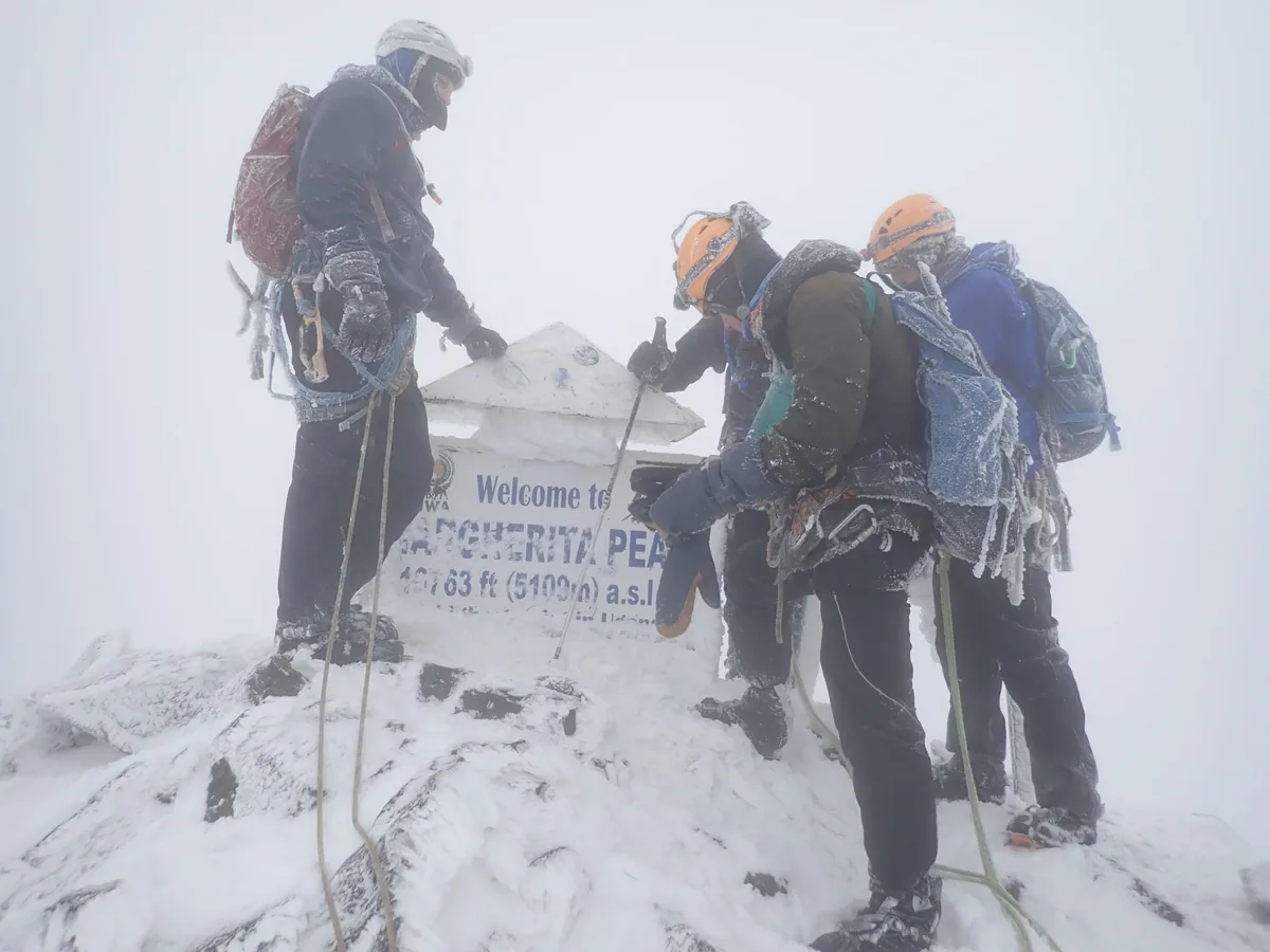
Margherita Peak summit terrain in the Rwenzori Mountains
Day 5 | Summit day
Day 5 | Margherita Peak and descent to Hunwick's

Start before dawn and let safety decide the summit.

Summit morning usually begins around 2:00am, with movement toward Mt Stanley around 2:30am. The aim is Margherita Peak at 5,109 metres, but weather, snow, glacier condition, and the turnaround time matter more than ambition.

  • Technical ice and rock sections can require crampons, ropes, and careful guide instruction.
  • Less experienced climbers may stop at a safe vantage point near the Stanley glacier.
  • After the summit window, descend directly to Hunwick's Camp.
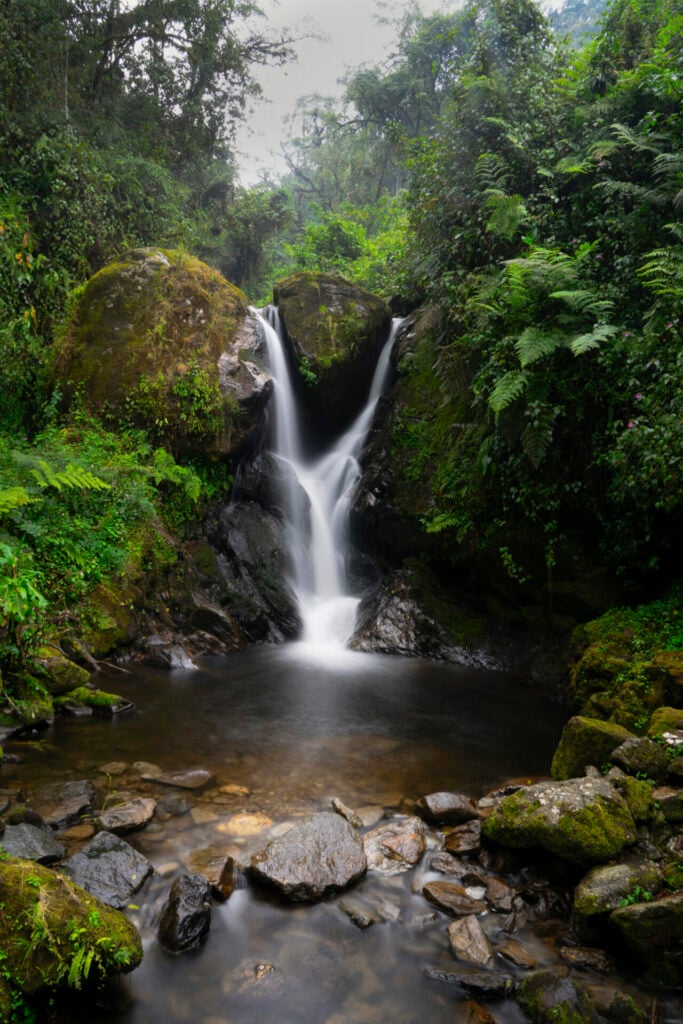
Waterfalls and cliffs near Kiharo Camp in the Rwenzori Mountains
Day 6 | Kiharo Camp
Day 6 | Hunwick's to Kiharo Camp

Oliver's Pass, peak views, and a long descent into Kiharo.

The day climbs toward McConnell's Prong and Oliver's Pass, with some of the best views of Mt Stanley, Mt Speke, Mt Baker, and Scott Elliott's Pass. Then the route cuts below Weismann's Peak and descends toward Kiharo Camp.

  • Approximate walking distance: 11 km.
  • Optional Weismann's Peak can be discussed in advance.
  • The descent passes glacial debris, bogs, cliffs, and dense vegetation.
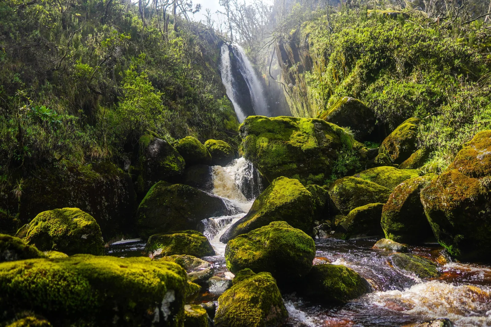
Rwenzori waterfall and forest on the descent route
Day 7 | Nyamwamba Valley descent
Day 7 | Kiharo to the park gate

Follow the Nyamwamba Valley back toward Kilembe.

The final day is mostly downhill, but still long. The valley is one of the most beautiful endings in the Rwenzori: mossy rocks, waterfalls, river crossings, forest, birds, primates, hyrax, and possible duiker sightings.

  • Approximate distance: 12.2 km to the gate, then 2.8 km to Trekkers Hostel.
  • Start early if connecting onward after the trek.
  • A dramatic, green finish after a demanding mountain week.

Plan it properly

Tell us your hiking background before we confirm seven days.

We will help you decide whether this seven-day plan is right for you, or whether the safer eight-day rhythm is the better luxury: more time, less pressure, and better acclimatization.